Jobs subscription


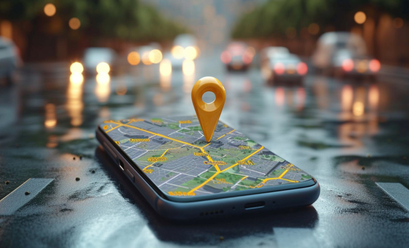
For many, the term “maps” brings to mind Google Maps and the convenience of navigating with a few taps on a smartphone. It also raises questions like: Do we need any other maps? Isn’t the app enough? In this article, Olena Slieptsova, Technical Product Manager at Intellias, delves into the questions and more.
To begin our discussion on maps, it’s essential to focus on their primary sphere of use: the automotive industry. Currently, there are three major trends, each heavily reliant on maps.
Self-driving cars require detailed data not just on roads and lanes, but also on road signs, potential obstacles, and even upcoming road conditions that might affect driving. Autonomous vehicles rely on precise (with an allowable error of 5 cm) and up-to-date maps. For example, knowing in advance about a sudden dip or a sharp curve can help the car adjust its speed and positioning, enhancing safety.
Electric vehicles (EVs) use maps not only for navigation, but also to make the ride more efficient. Let’s say you are going to drive from Austria to Italy, your route should be planned based on the locations of charging stations, elevation changes and road surface types. These factors significantly impact battery life and driving range, because a car will spend much more energy on a gravel road going uphill than on a flat asphalt road, even if it is shorter.
Software-defined vehicles (SDVs) are like computers on wheels. Maps for SDVs aren’t just about geography; they include a layer of data regarding traffic conditions, weather, and even temporary road signs. For instance, the European Union has mandated Intelligent Speed Assistance (ISA) systems. With up-to-date maps, these systems can accurately determine the speed limit in an area and notify the driver accordingly.
At this point we come to the question of relying solely on Google Maps. As you can see from the previous paragraph, Google Maps is missing some of the necessary functionalities. In particular, EVs and SDVs require customized mapping solutions that integrate seamlessly with their specific hardware and software systems.
Google Maps provides highly frequent updates for information like traffic and points of interest (POIs), but it is not updated often enough for some driving-specific details. New bridges are built, reconstruction works are being carried out and many other changes are made. Moreover, the app requires an internet connection, which can be a critical shortfall for self-driving cars that require immediate data on road conditions.
Another important thing to consider is data depth. While suitable for standard navigation, Google Maps lacks the detailed environmental data needed for more sophisticated automotive functions (e.g. availability of charging stations or road signs).
Thus, the app is great for your everyday journeys, but when you’re setting out on a grand European adventure—especially with electric or self-driving vehicles—consider specialized digital maps to have a smooth and enjoyable trip.
Now that we have explored the advantages of specialized navigation, let’s delve into how and where maps get the up-to-date info and all the required details. Five or ten years ago, the main method of data collection was special commercial vehicles equipped with cameras and lidars, which drove around the roads capturing everything. However, technological advances and the development of open communities have made their own adjustments: AI algorithms now make it possible to obtain data from satellite imagery more efficiently, and to aggregate and verify data from various sources. There is no longer a need for a special car with cameras, as modern cars are equipped with cameras and lidars as standard, which can collect data even while you are driving from home to the office and back.
Data from users and from fleet vehicles can provide real-time updates on traffic conditions, accidents, or weather changes (e.g., tire sensors measure humidity levels or road temperature), adding a layer of dynamism to the maps. For instance, integrating tire sensors that provide real-time data on their condition and performance can help predict vehicle dynamics under various road conditions, which is crucial for autonomous driving to become a commonplace in many cities.
While advanced digital maps are changing how cars interact with their environment—making vehicles safer, more efficient, and more automated—stay tuned for the next part, where we delve into the topic deeper. And as we keep innovating, check Intellias career website to contribute to the next automotive breakthrough.

The best vacancies, are waiting for you!
We picked vacancies that suit your skills!